So, Superstorm Sandy. What a psycho.
It was terrifying to watch as she raged through the Atlantic seaboard like a menopausal T. Rex who’s been denied chocolate and wine. Hell hath no greater fury than Mother Earth with hot flashes, am I right?
As I waited for Facebook updates on my phone from loved ones in Brooklyn and Manhattan last week, I found myself obsessing over the satellite images of Sandy’s massive spinning heft. I guess I’m old and nerdy enough to still think it’s pretty freaking amazing that I can view the planet in real time from a device that fits in my back pocket. Cripes, I remember when people still got lost and had to ask strangers for directions (which is part of the fun of life as far as I’m concerned, a sentiment not shared by my husband, who uses his GPS to find the men’s room at a restaurant.)
I contemplated the philosophical implications being able to see any part of the world from anywhere: Will it inspire humans to rise above our contrived nationalistic boundaries into a cooperative collective consciousness? Or is Big Brother writhing his hands in glee? Should I always remember to throw on a pashmina in the early morning when letting the dog out lest my hideous bathrobe be memorialized on Google Earth snapshot?
Navelgazing aside, there’s no doubt that geographic mapping has tremendous practical application: It’s how meteorologists predicted Sandy’s bi–polar path and allowed first responders to find those in need of help. It’s what powers the magical map on your phone, tracks swine flu outbreaks and finds ancient shipwrecks on the ocean floor. But the pretty pictures don’t pop up on the screen of their own accord: That takes science.
The discipline is called geographic information systems (GIS), and there are big brains behind all that data–to–screen dancing we take for granted.
“I don’t think people realize that from the minute they wake up to when they go to bed at night, they’re using GIS,” muses Noel Perkins, director of the Savannah Area Geographic Information Systems, located in the Metropolitan Planning Commission offices on State Street. “Basically, there is nothing that we can’t map.”
Not every city is lucky enough to have its own GIS department. With public safety as their No. 1 mission, he and senior analyst Lara Hall synthesize statistics and cartography to reveal layers of information employed by local engineers, contractors, city planners, utility companies and fire and police departments. It’s all part of the public domain, which means you can use it, too, at sagis.org.
Perkins and Hall gave me a GIS crash course last week that included the difference between absolute and theoretical data, the latter used to plot out new housing developments that might not actually be there yet (hence the reason Siri will send you down a road in Pooler that does not yet exist.)
On a global level, GIS is the core of disaster relief efforts and in monitoring public health. Locally, it plans our evacuation routes and tells us which neighborhoods to stay out of after dark.
“Using points, lines and polygons, we can analyze crime hotspots or create a model to predict a storm surge,” adds Perkins, imparting that should a hurricane push a wall of water through downtown Savannah, the high ground around Barnard Street will be our own little Mount Ararat at 65 feet above sea level.
Super fascinating stuff. And talk about job creation: GIS is a growing field with multitudinous global opportunities.
Though maybe you’ve heard American students score quite sadly in geography. In 2010, only 20 percent of high school seniors passed a basic proficiency assessment asking them to identify the profile of South America. Highly ironic considering most of them can tweet their exact location in the mall with one click.
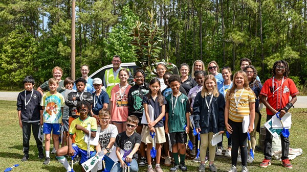
Hall and Perkins hope to engage those young synapses by hosting the sixth annual GIS Day, next Wednesday, Nov. 14 at Savannah State University. Held as part of the National Geographic Society’s Geography Awareness Week, GIS Day introduces middle schoolers to the science in their back pockets and more. Four hundred and fifty eighth graders from Chatham County’s public and private schools will solve geographic mysteries using layered maps and learn compass skills as well as visit with representatives from the U.S. Corps of Engineers, Georgia Power and other GIS professionals. Basically, it’s the most epic scavenger hunt ever. With gadgets.
“These are great skills to have even if you aren’t going into the field of GIS,” Perkins says. “You learn critical thinking, how to process information and look at the big picture.”
Looking at the wide angle shots of big ol’ Sandy spiraling across the hemisphere, we’re all wondering whether she’s a once–in–a–lifetime aberration or the scary new normal. The argument on whether climate change is happening is over, but what to do about it is far from settled.
We need to keep pushing the next generation of scientists to read the data right—otherwise we’ll just be swept away in the hubris.
GIS Day takes place on Wednesday, Nov. 14 at Savannah State’s Hubert A Building and is open to the public from 2-3 p.m. More info at gisdaysavannah.org.

